Casque Isles - Rossport / Schreiber / Terrace Bay
club contact:
Club President Matt Borutski – 807-229-6454
Feel free to contact us regarding trip planning and possible shuttling, depending on volunteer availability.
Follow us on our social media pages!
Scroll down for more local Club information.
Maps for Casque Isles & Rossport coastal trails:
Interactive Web Map (overview of all trail maps for Clubs of the VTA): CLICK HERE
This map shows the full extent of the completed sections of Voyageur Trail.
It is not intended for hiking purposes. The zoom level is restricted
and it does not contain any descriptive information.
From this page you can also view our whole suite of mapping products.
Members of the VTA have full access to these products,
plus they receive an Access Code for our digital maps on the Ondago App.
To purchase your membership, CLICK HERE
Immediately upon receipt of payment members get access (downloadable instructions) to the latest map products covering close to 500 km of trail.
Only the official maps and route descriptions from the Voyageur Trail Association on the Ondago app are accurate, reliable and trustworthy.
There are hikers that choose to day hike segments of the Trail or take short hikes. Scroll down for more information on each segment
and suggested short hikes that you may enjoy.
For those wishing to through-hike the entire trail, we provide a campsite information document that will assist with planning your days on the trail.
Campsite information for the Casque Isles Trail, including a KM Chart; CLICK HERE
club updates & other important information
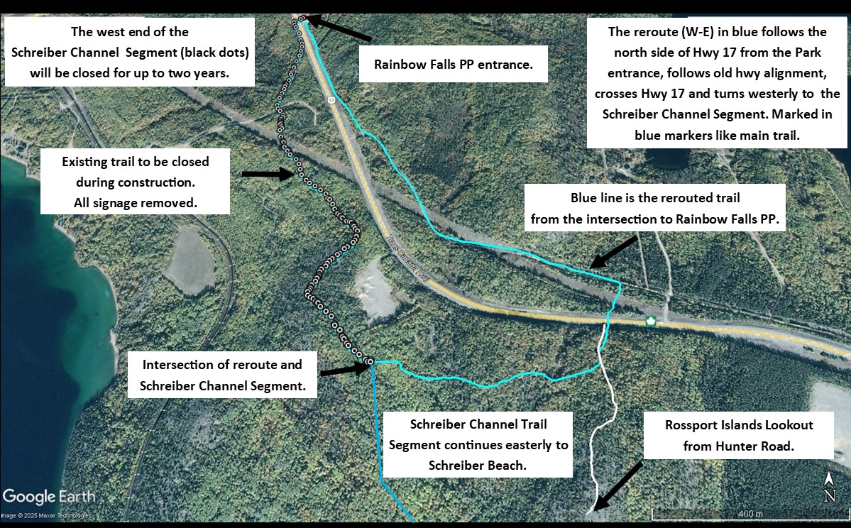
CLOSURE & REROUTE ON THE SCHREIBER CHANNEL SEGMENT
As of Monday morning, June 16th, 2025, the western end of the Schreiber Channel Segment will be closed for up to 2 years for construction on Hwy 17. There is a reroute that will be used to keep the trail continuous while the construction is ongoing, please consult the picture included with this post.
There will be a barricade at KM 15.5 at the intersection of the Schreiber Channel Segment and the reroute trail. Signage will be added at the entrance to Rainbow Falls PP, Whitesand Campground, to direct hikers up the north side of Highway 17 to follow the reroute. All signs and markers on the closed portion will be removed. The reroute will become the Main Trail and, as such, will be marked with blue markers.
BOT, the contractor for the highway construction, will also post on the barricade. The construction zone becomes “Private Property” and no trespassing is allowed.
Signage and marker work will take place on Sunday, June 15th, 2025. If you have any concerns or questions, you can contact us at casqueisles@gmail.com.
Trail sections that we manage:
Rossport Coastal Trail
- 1.5 KM trail following the Lake Superior Coast east of Rossport, Ontario.
- Marked in blue markers.
- Access from the west end at Wardrope Park at the east end of Rossport (turn off at the east entrance at the bottom of the hill on Hwy 17), and access from the east end at the MTO Picnic Rest Area 1.5 KM east of Rossport.
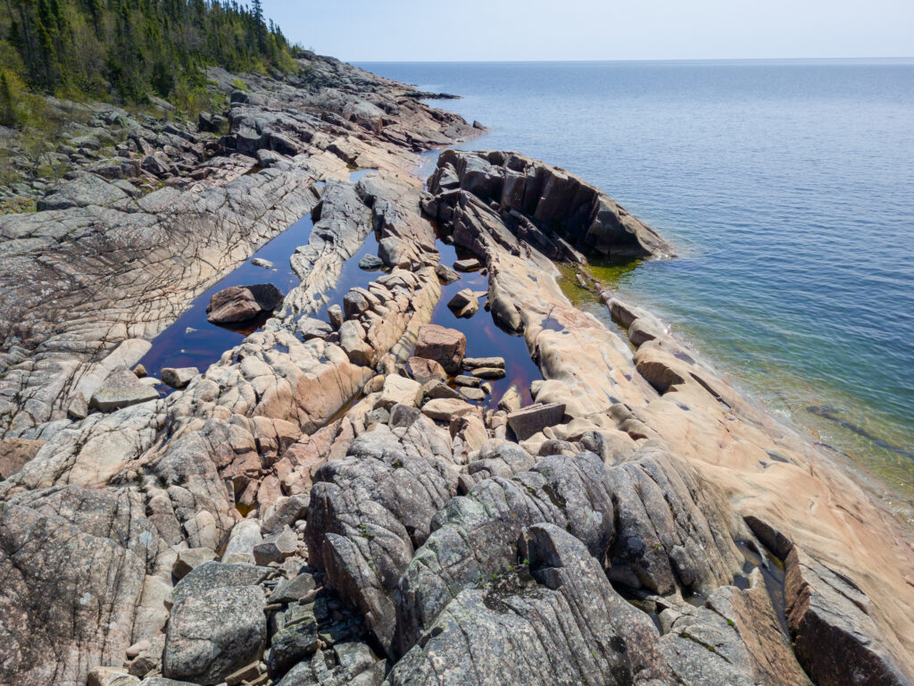
- Easy to Difficult classification, with one very difficult section at the mid-point. Shoreline rocks can be very slippery when wet.
- Wear proper footwear, dress for the weather and bring enough water for the hike.
- BEFORE YOU SET OUT:
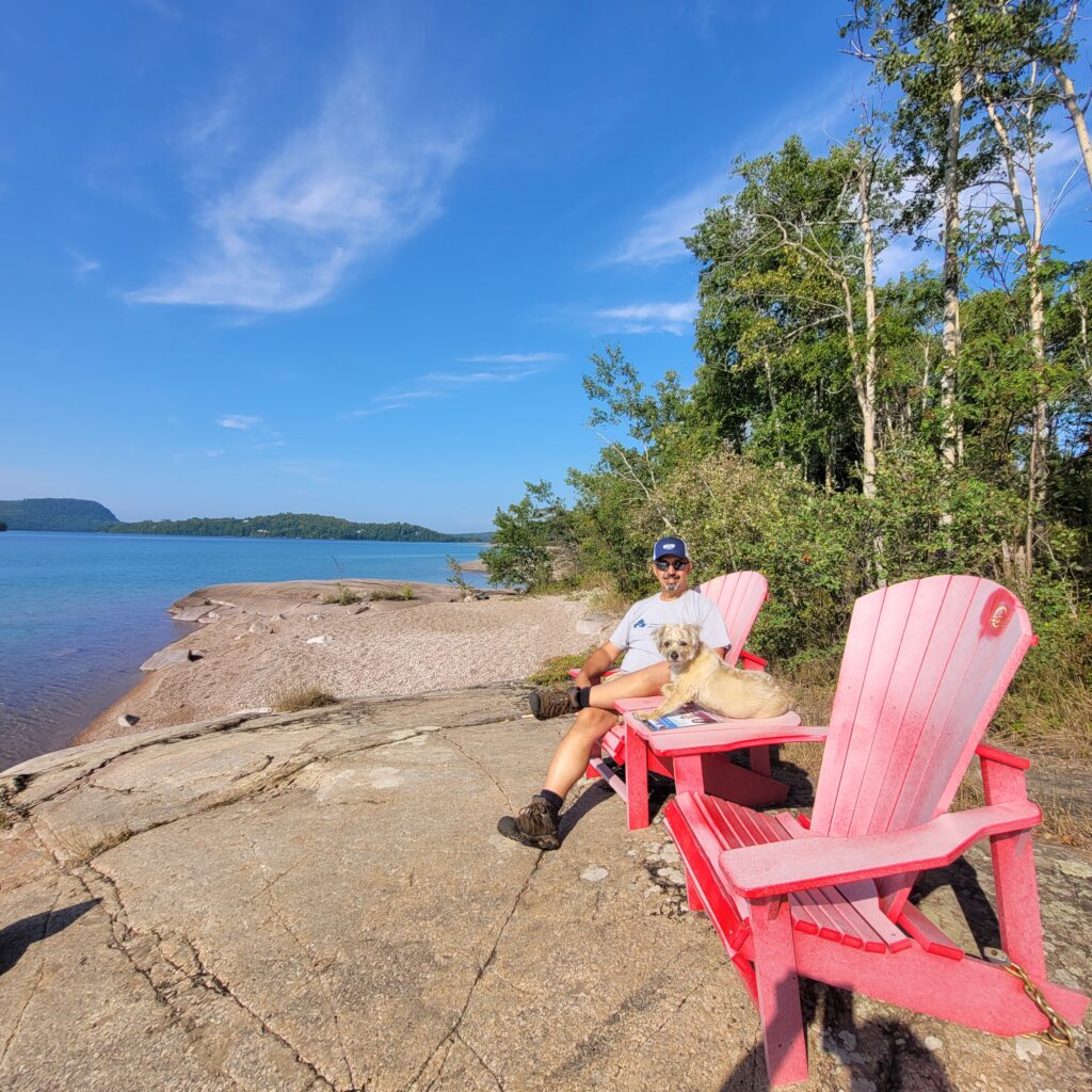
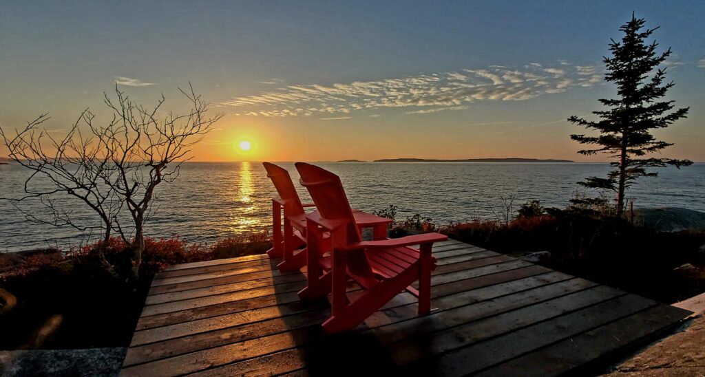
All outdoor activities involve some degree of risk. Please, remember that your safety is your personal responsibility. So, be well prepared for your chosen activity and route. - A set of Parks Canada’s Red Chairs can be found on an easy to moderate section of this trail by walking westerly from the MTO Picnic Rest Area.
Casque Isles Hiking Trail
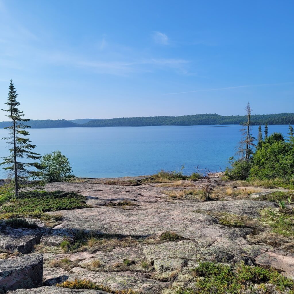
Weaving along the shoreline of Lake Superior, the Casque Isles Trail is an incredible 53 km long wilderness recreational hiking trail and a true Northern Ontario experience. Welcome to your next adventure!
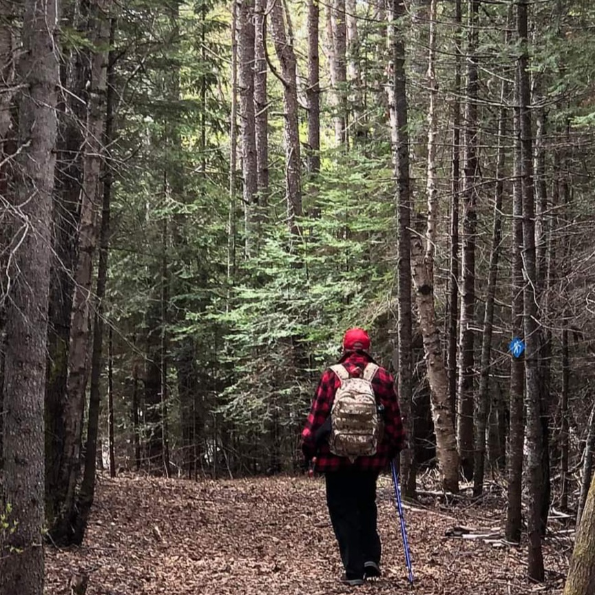
- Blue markers mark the main trail and white markers mark side trails and Accesses.
- 6 Segments with 12 Access locations.
- Difficult classification with natural tread, high steps, streams to wade and boulder fields to cross.
- Many sections can be classified as easy or moderate, but difficult sections may be encountered in between those sections. All boulder fields, bald rock areas and exposed shoreline areas will be slippery when wet.
- BEFORE YOU SET OUT:
All outdoor activities involve some degree of risk. Please, remember that your safety is your personal responsibility. So, be well prepared for your chosen activity and route. Let someone know where you are going and when you plan on being back. Make sure to bring adequate food and water with you for your hike. If you plan to venture off the trail system, make sure you have a compass and a map of the area. - Wear proper footwear, dress for the weather and bring enough water and food for the planned hike.
Mcleans Segment – 13 km
- 4 Accesses, can easily be broken down into 3 day hikes.
Shorter Hikes:
- West from the intersection of the main trail and unmaintained road (A3 Access), for 1.5 KM to the Mcleans Creek campsite. Moderate to difficult classification. A perfect spot for a picnic lunch or to sit on the bench beside the creek and enjoy the day.
- The Falls Trail in Rainbow Falls Provincial Park (Whitesand Campground). Easy to moderate stairs and walkways to a bridge crossing the river. From the bridge, westerly, climb the hill to the Rainbow Falls Lookout, this piece of trail beyond the bridge is classified as moderate to difficult.
Schreiber Channel Segment – 13 km
- 3 Accesses, A4 at Rainbow Falls PP, Hunter Road and A5 Access at Schreiber Beach at Schreiber, Ontario.
Shorter Hikes:
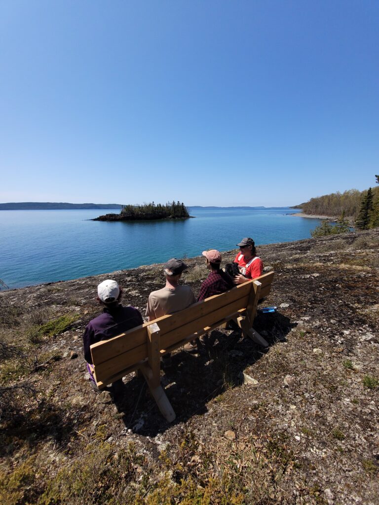
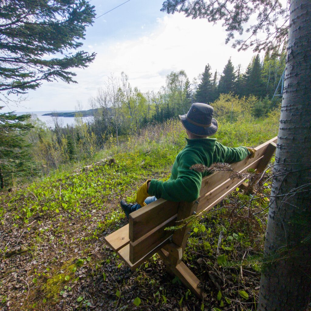
- Easterly from the A4 Access at Rainbow Falls Provincial Park (Whitesand Campground) for 3.5 KM each way out-and-back to a bench overlooking the eastern end of the Schreiber Channel on Lake Superior. This is about 150 m east of the Winston Point Lookout. Classified as moderate to difficult.
- From Hunter Road, parking at the first wide spot to the side to not block the road, follow white markers turning to cross the powerline and Hwy 17. Follow white markers from there up the hill to the Rossport Islands Lookout. The trail is about 1 KM, classified as moderate to difficult.
Shorter hikes in the Schreiber Beach area, between The Schreiber Channel and Mount Gwynne Segments (opens in Google maps), CLICK HERE.
- Parks Canada’s Red Chairs, west of Schreiber Beach (A5 Access). The trail crosses Schreiber Beach, find the trail at the west end and follow the trail for .5 KM, turning towards Lake Superior just before the next beach. Trail is classified as difficult to moderate.
- The Creek Walk, from the east end of Schreiber Beach. Follows the creek for .75 KM to the Thomas McGrath Bridge, the trail is classified as moderate. After the bridge, the trail becomes very difficult. There is a bench at the mid-point that views a seasonal or high-water falls across the gully.
- The Picnic Table Lookout Trail, 2 KM on an easy to moderate trail from the south end of Winnipeg St. in Schreiber. Follow the white markers to the main trail and turn left to follow the blue markers for 300 m to the Lookout. A very nice out-and-back hike.
Mount Gwynne Segment – 7 KM
- 3 Accesses, A5 at Schreiber Beach, A6 Access at the Picnic Table Lookout Trail at the south end of Winnipeg St. in Schreiber, and A7 Access at Worthington Bay Road east of Schreiber.
Short(ish) hikes:
- Fourth Lake Campsite, from the A6 Access. 4 KM each way on an out-and-back hike, with an easy to moderate classification on the Picnic Table Lookout Trail for 2 km and then 2 KM on typical Casque Isles trail classified as moderate to difficult. The campsite at Fourth Lake is the perfect destination for a day hike, it is a picturesque stop for your lunch break before heading back.
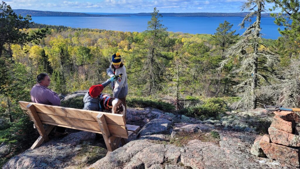
- The Mount Gwynne Lookout. Although this will be a challenging out-and-back day hike, everyone should visit this Lookout at least once! The A7 Access, Worthington Bay Road, leads to Worthington Bay Beach but is not maintained. Parking is about 2 KM down this road from Hwy 17. From the parking area it is a 4.5 KM walk to Worthington Bay, then turn west on the Mount Gwynne Segment and follow the trail to the Junction at KM 31.5. From there, follow the white marked side trail to the Mount Gwynne Lookout. From the beach to the lookout is over 250 m of ascent, on difficult to moderate classified trail. One way from parking on Worthington Bay Road to the Lookout is 7.5 KM.
Death Valley Segment – 10.5 KM
- 2 Accesses, A7 at Worthington Bay Road and A8, Municipal Road 461 at Terrace Bay west (Hydro Bay locally).
- Considered to be the most difficult and arduous Segment of the trail, with 2 KM of shoreline walking on the west end and steep hills and boulder fields on the east end. Even experienced hikers can expect to be slowed to 1.5 KM/H on the shoreline sections.
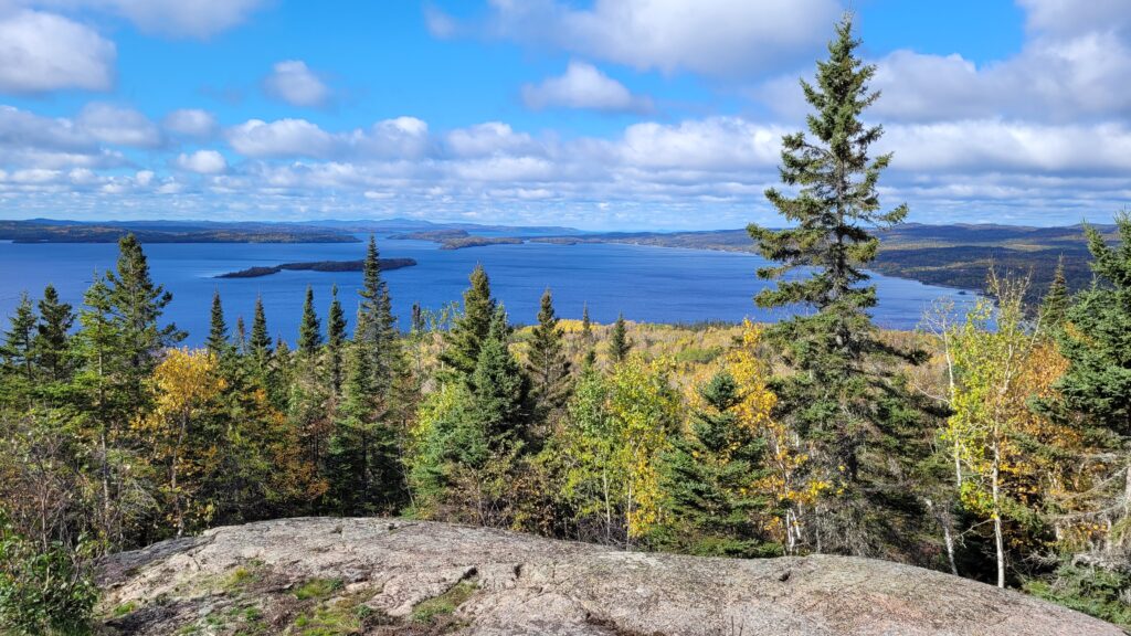
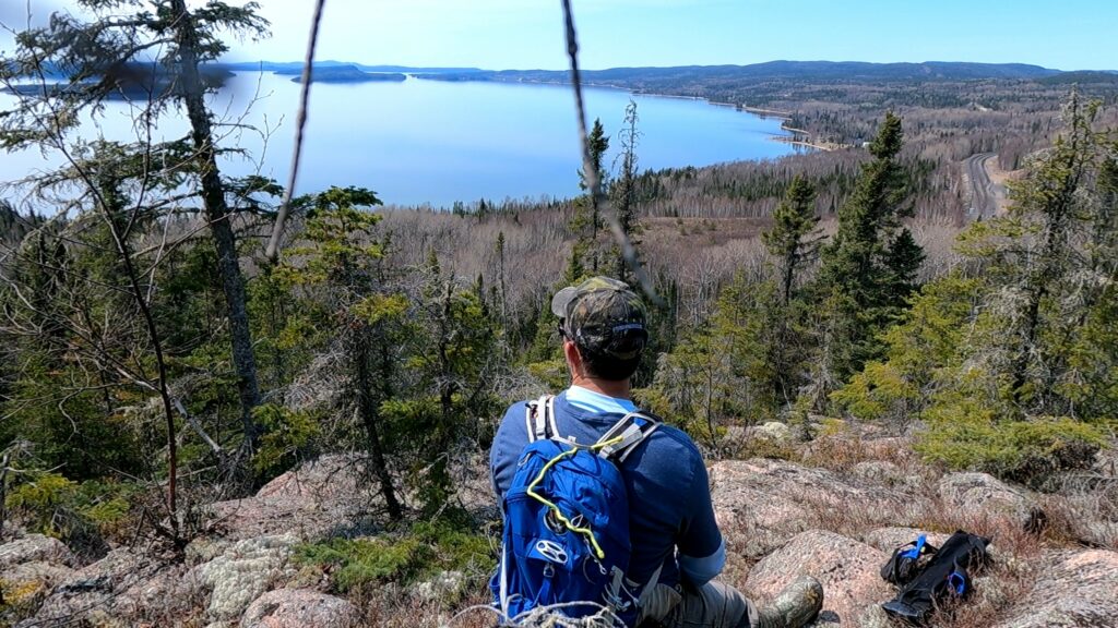
- Strikingly beautiful section of trail, with dramatic views of Lake Superior from the shoreline and incredible vistas from the Lookouts.
- This Segment will definitely test your mettle while challenging your experience and endurance.
Hydro Bay Hike-Around – 2.5 km
- 2 Accesses, A8 at Hydro Bay West and A9 at Hydro Road South.
- While it may be called Terrace Bay on the map, this Segment follows old roads around what is known as Hydro Bay locally. The Aguasabon Generating Station was built by Ontario Hydro in the 1940’s, the location is identified by the large surge tank that can be seen from Hwy 17 while passing by.
- A connecting trail between the Death Valley and Lyda Bay Segments.
Lyda Bay Segment – 7 KM
- 3 Accesses, A9 at Hydro Road South, A10 at Terrace Bay Beach, and A11 the Aguasabon Falls just west of Terrace Bay, Ontario.
Short hikes in the Terrace Bay area (opens in Google Maps), CLICK HERE
- A11 to A10, Aguasabon Falls to Terrace Bay Beach. 2 KM one way on a easy classified trail. The Aguasabon Falls is accessed by a walkway from the parking lot at A11 and is very dramatic all year round, but especially during the spring melt.
- A10, Terrace Bay Beach to Danny’s Cove. Just under 2 KM each way on an easy classified trail. Bring a blanket and a picnic lunch to enjoy Danny’s Cove! Take the white marked side trail from Terrace Bay Beach to the junction of the main trail and turn west to Danny’s Cove.
- A10, Terrace Bay Beach to Parks Canada’s Red Chairs. Follow the boardwalk at Terrace Bay Beach to the far east end and follow the white marked trail the Red Chairs. The boardwalk is easy to walk on, but the trail to the Red Chairs is classified as difficult.
club info:
The name “Casque Isles” comes from John Bigsby’s 1823 appraisal of Superior’s north shore from the top of Pic Island, “As I turned towards the land, tall casque-shaped [helmet-shaped] islands were seen here and there, full of sinuosities and overlooked by pleasingly grouped hills of conical or waved outline from 600 to 800 feet high. I was well repaid for the trouble of the ascent.“
The Casque Isles Trail is an adventurer’s dream come true, and then some—one of the top 10 best hikes in Ontario! This is the must-hike trail in Northwestern Ontario.
The trail weaves 53 km (33 miles) along the north shore of Lake Superior, highlighting some of the most stunning vistas of Lake Superior, and linking the communities of Rossport, Schreiber and Terrace Bay together. You’ll be swept away as you hike from one beautiful bay to the next.
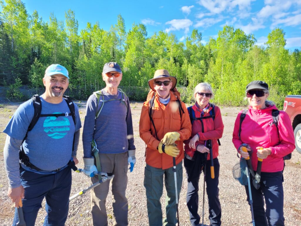
Signed and groomed by the passionate volunteers of the Casque Isles Hiking Club, the Casque Isles Trail is an important section for both The Trans Canada Trail and the Voyageur Trail Association.
Check out our Casque Isles Hiking Trails Pamphlet (pdf)
local information;
Local Links of Interest:
Ontario’s Superior Country
Parks Canada, Lake Superior National Marine Conservation Area
Such A Nice Day Adventures
Outdoors Skills and Thrills
Local Club Info:
President – Matt Borutski
Vice President – Rod MacKenzie
Trail Master – Dan McGrath
Secretary/Treasurer – Sue Borutski
Trail Sponsors


